Every day, the global population increases by over 200,000 individuals, projecting a total world population of 9.6 billion by the year 2050.
So, the demand for food also increasing. We can achieve the demand only when we enhance crop yield and use technologies in our agriculture industry.
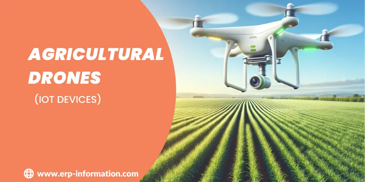
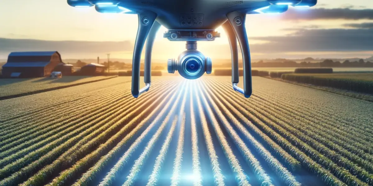
Imagine tiny flying robots swooping over fields, helping farmers grow better crops. These are agricultural drones, which are reshaping farming.
From planting seeds to monitoring crops, drone technology for agriculture revolutionizes how farmers work.
This article unravels the magic of these drones, showing how they bring massive benefits to the agricultural industry.
What are agricultural drones?
Agricultural drones are also called advanced Unmanned Aerial Vehicles (UAVs) specifically outlined to revolutionize farming practices.
These drones are furnished with various sensors, cameras, and imaging tools. Farmers can gather precise, real-time data about their crops and fields using drones.
They can monitor crop health, detect areas needing attention, and optimize irrigation and pesticide use.
These high-tech aerial assistants help farmers make data-driven decisions, boosting crop yield, efficiency, and sustainability in agriculture.
How do they help the agriculture industry?
Drones help farmers and the agricultural industry in the following ways.
Monitoring Plant Health
Drones equipped with specialized sensors, including multispectral and hyperspectral cameras, can capture detailed images of crops.
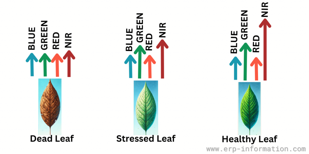
By analyzing the reflected light from plants, they provide unique insights into plant health, stress levels, and nutrient deficiencies.
Drones help to calculate NDVI by capturing data using sensors like multispectral cameras. The Normalized Difference Vegetation Index (NDVI) is a numerical indicator used in remote sensing and agriculture to assess and measure vegetation health, density, and growth.
The equation to calculate NDVI is, NDVI = (RNIR – RRED)/ (RNIR + RRED)
Where, RNIR = Reflectance of the near-infrared band
RRED = Reflectance of the red band.
The NDVI formula compares the reflectance of near-infrared light, which healthy vegetation strongly reflects, with the reflectance of red light, which is absorbed.
The range of index values is -1 to +1. A higher value means +1 side indicates healthier vegetation.
By analyzing NDVI values obtained from multispectral images, researchers and farmers can assess plant health, detect stress, monitor crop growth, identify areas needing irrigation or pest control, and make informed decisions to optimize agricultural practices and maximize crop yields.
Monitoring Field Conditions
Drones offer a bird’s-eye view of agricultural fields, allowing farmers to assess the overall field conditions.
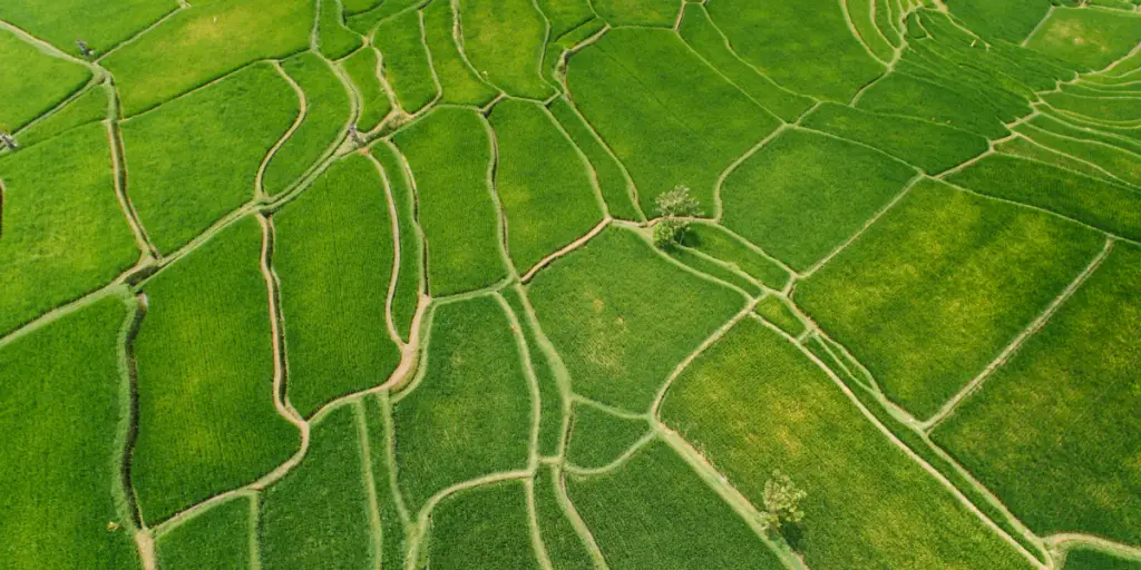
They can identify areas prone to erosion, soil compaction, or waterlogging.
This information is invaluable for crop rotation planning and land management, enabling farmers to address issues proactively.
Planting and Seeding
Some drones are equipped with planting mechanisms that can sow seeds directly into the soil.
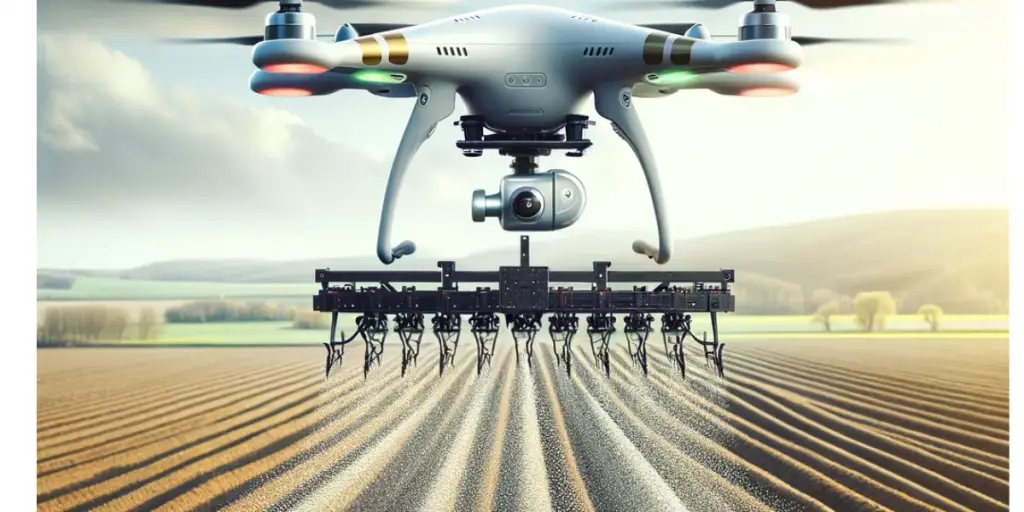
This method offers precision in seed placement, spacing, and depth, resulting in optimal germination and reduced seed wastage.
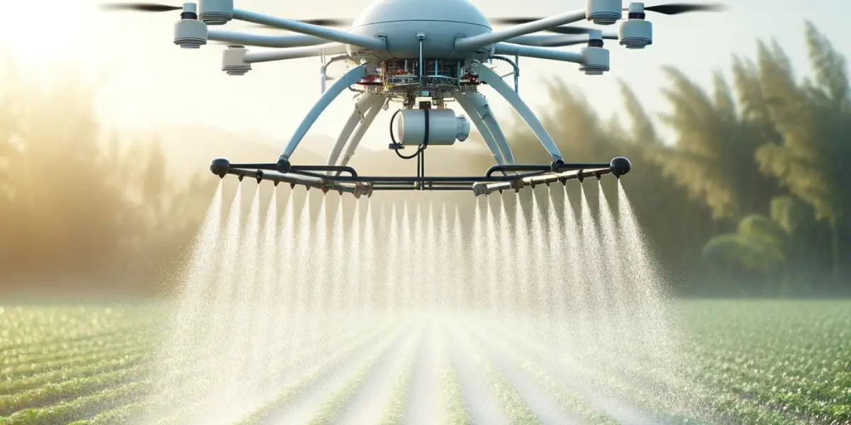
Spray Application
Drones are used for precision pesticide and herbicide application.
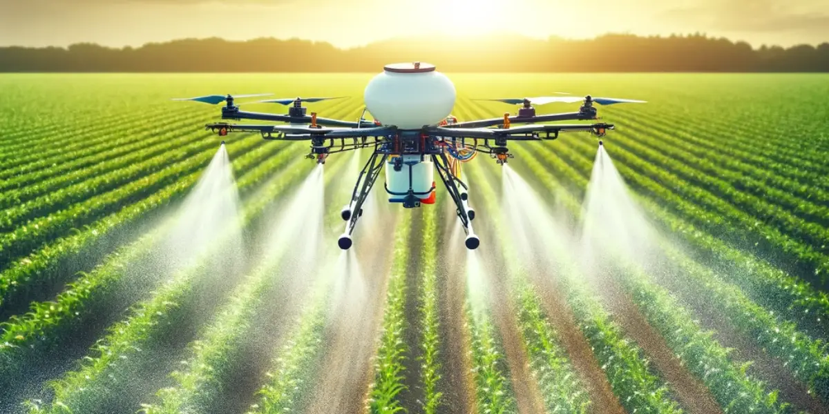
They can target specific areas with precision, reducing the use of chemicals and minimizing the risk of overspraying. This approach is environmentally friendly and cost-effective.
Security
Drones play a role in monitoring and securing agricultural properties.
They can be programmed to patrol fields, livestock, and infrastructure, identifying potential threats or intrusions.
This enhances security, particularly in larger farms or remote areas.
Pollination
In response to concerns about declining pollinator populations, some drones are being developed for pollination purposes.
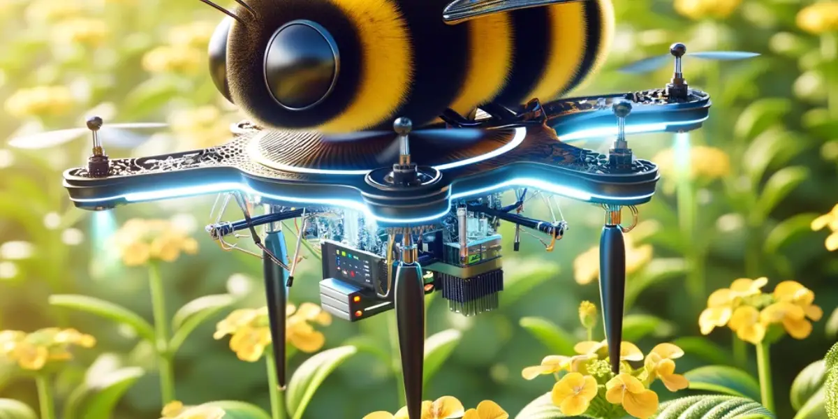
These drones mimic the pollination process by distributing pollen to crops like fruit trees. They offer a unique solution to mitigate the impact of pollinator declines.
Irrigation
Drones are equipped with thermal imaging cameras. So they are able to detect variations in soil moisture and temperature, helping to optimize irrigation practices.
They can identify areas in need of watering and aid in water conservation efforts, as well as improve crop yield and quality.
Drone-based evapotranspiration (ET) estimation
Drone-based Evapotranspiration (ET) estimation helps to measure the amount of water lost from the soil and plants through transpiration and evaporation.
This innovative approach harnesses the capability of drones to collect high-resolution thermal and multispectral data over agricultural fields.
These drones are equipped with thermal infrared cameras and multispectral sensors that capture data related to temperature differentials and surface characteristics of crops.
By measuring temperature changes and analyzing the reflected and emitted radiation from the crops, these sensors can estimate ET rates with remarkable precision.
The process involves calculating the surface temperature of plants and soil, comparing it with ambient conditions, and analyzing how much water is being released through transpiration (plants releasing water) and evaporation (water evaporating from the soil).
This technology aids farmers in understanding water usage by plants, assessing irrigation needs, and optimizing water management strategies.
By providing detailed insights into crop water consumption, drone-based ET estimation is central to improving agricultural sustainability, conserving water resources, and maximizing crop productivity in a more precise and efficient manner than traditional methods.
Data Collection and Analysis
Drones collect a wealth of data during their flights. Advanced analytics and artificial intelligence tools process this data, providing unique insights into crop growth, pest infestations, and disease outbreaks.
The data aids in making informed decisions and predictions, ensuring efficient farming operations.
Conclusion
As we soar through the possibilities of agricultural drones, it’s evident that these aerial marvels have become the wings of modern farming. With their ability to gather intricate field data and guide precise interventions, they’ve reshaped the landscape of agriculture.
Embracing these technological allies isn’t just about cultivating crops; it’s about nurturing efficiency, sustainability, and a promising future for farming.